Release 1.18 of the Model My Watershed web application was made public today.
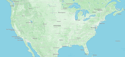
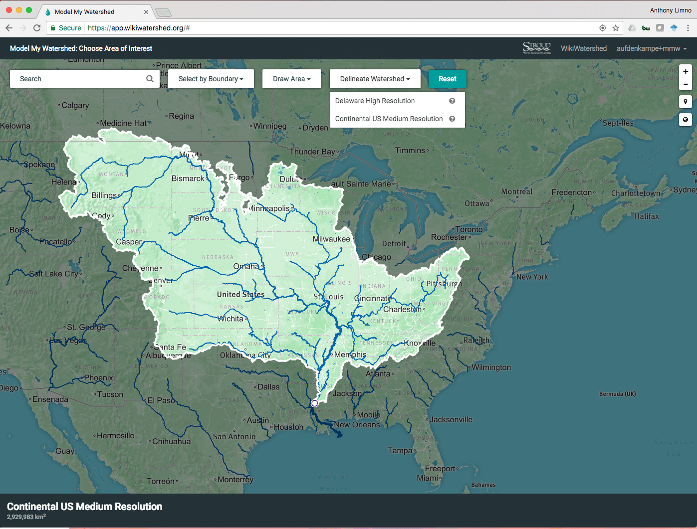
We are excited to roll out a continental-scale automated Rapid Watershed Delineation feature using NHDPlus for any point in the entire continental “lower 48” states of the USA. With Release 1.17, we had implemented Rapid Watershed Delineation for the Mid-Atlantic region (USGS water resource Region 2) based on the 30 m resolution National Elevation Model and the National Hydrography Dataset Plus (NHDPlus v2). Release 1.18 extends those capabilities to the entire continental USA.
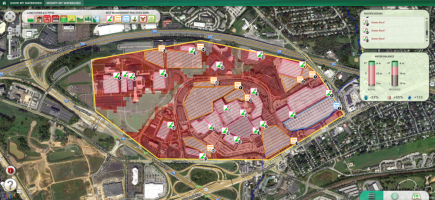
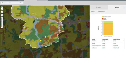
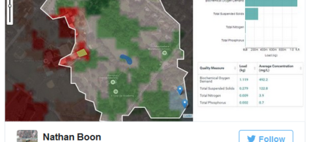
Release 1.18 also includes a number of performance enhancements, which allows automated Rapid Watershed Delineation for watersheds up to about three million square kilometers, speeds the delivery of Analysis and Model out, and provides a snappier overall user experience. Azavea (now Element 84), the software engineering firm coding the web app, describes the technical wizardry behind these performance enhancements in their recent How to Build Asynchronous Workflows in a Geospatial Application blog post.
We have also improved the zoom-dependent rendering of NHDPlus v2 continental medium resolution stream network “blue lines” and also the Delaware River Basin high resolution stream network.
In addition, Release 1.18 includes a number of minor improvements to the user interface, new model output descriptions and bug fixes. Stay tuned for more substantial improvements to the user interface coming in the next release!
For a full list of all improvements, see our Release Notes at https://github.com/WikiWatershed/model-my-watershed/releases.