This major release was deployed at 02:30 PM EST on January 21, 2020.
New Features
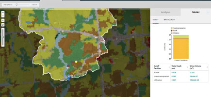
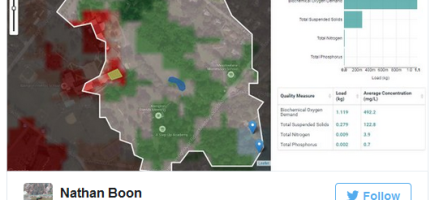
- Watershed Multi-Year Worksheet: Add the ability for users to generate an Excel Worksheet containing Streams and Land analyses of the selected Area of Interest, as well as the Streams and Land analyses in addition to the GWLF-E Water Quality results for the HUC-12 the Area of Interest intersected with. This primarily serves the PA DEP workflow. For more details, see the technical documentation. #3191 #3205 #
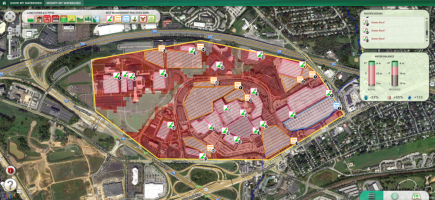
3216 #3225 - Active River Area Analysis: Adds the total of Active River Areas to the Land analysis tab if the selected Area of Interest is within the North-East Mid-Atlantic region. #3200 #3218 #3220
- Ability to Override C- and P-Factors for Cropland in Watershed Multi-Year Model #3212
Improvements
- Upgrade Basemap to a higher resolution, more modern one #3208
- May Climate Analysis faster and more resilient by switching the implementation to Multi-Operation Geoprocessing #3221
- Make Watershed Mult-Year Model more accurate by tweaking some defaults #3210 #3224
- Make HUC Search faster #3207