WikiWatershed is a web toolkit designed to help citizens, conservation practitioners, municipal decision-makers, researchers, educators, and students advance knowledge and stewardship of fresh water. WikiWatershed an initiative of Stroud Water Research Center, a global leader in freshwater science.
model my watershed
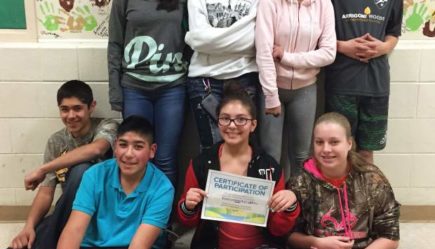
Students Win National Competition Using Model My Watershed
Using the web app and other learning tools, students in Colorado won the Lexus Eco Challenge national competition in the land and water category.
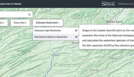
Model My Watershed Release 1.17
A major new feature: automated Rapid Watershed Delineation based on the National Hydrography Dataset!
Video Now Available: WikiWatershed Toolkit for Educators
In case you missed it — you can now watch the WikiWatershed Toolkit for Educators webinar on the Videos page.
Webinar: Introducing the WikiWatershed Toolkit to Educators
This webinar introduces WikiWatershed and then focuses on the Model My Watershed web app, which demonstrates the effects of land use and best management practices on your local streams and watersheds.
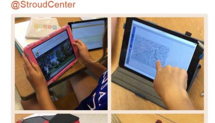
Model My Watershed Feedback on Twitter
More great feedback about Model My Watershed from Villanova Urban Stormwater Partnership and science teacher Dr. Brandon Gillette!
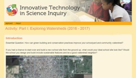
Pilot Curriculum Available For Model My Watershed
A pilot middle/high school curriculum for using Model My Watershed in the classroom can be found on the Innovative Technology in Science Inquiry (ITSI) portal.
