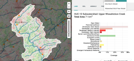
We’re excited to see the enthusiasm for the new model!
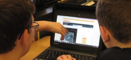
Wow. Model My Watershed is a really powerful tool. This has a place in my class next year. https://t.co/LHaihh65BE @WikiWatershed
— Brian Carpenter (@physicscarp) March 23, 2016
New Model is a National Model
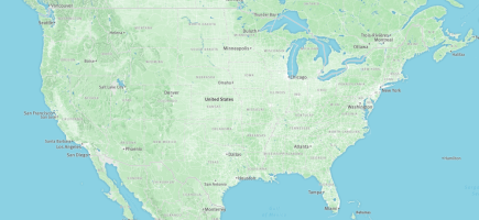
Originally built for portions of Southeastern Pennsylvania and Northern Delaware, grants have allowed Stroud Water Research Center and its partner organizations to expand the model into a national resource for citizens, conservation practitioners, municipal decision-makers, educators, and students.
@StroudCenter releases https://t.co/AV5NSnthEp with @WilliamPennFdn support – still some bugs but honestly, WOW! pic.twitter.com/EtTn2ewvNo
— Nathan Boon (@nathadon) March 18, 2016
Help Us Improve the Web Apps
Take Model My Watershed 2.0 for a test drive; if you spot a bug or glitch, or want to request a new feature, submit your feedback on our help page.
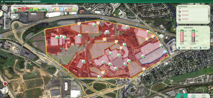
You may also be interested in the Runoff Simulation (formerly known as the Micro Site Storm Runoff Model), an animated version of the Site Storm Model package of Model My Watershed. It allows users to learn how land use and soil together determine whether rainfall infiltrates into the soil, runs off into streams or is evaporated and transpired by plants.
If you need help getting started with the web apps, check out the instructions on the Help page.
Advancing Knowledge and Stewardship of Fresh Water
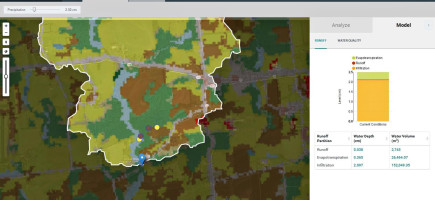
Model My Watershed 2.0 advances knowledge and stewardship of fresh water by enabling users to
- Analyze real land use and soil data in their neighborhoods and watersheds
- Model stormwater runoff and water-quality impacts using professional-grade models
- Compare how different conservation or development scenarios could modify runoff and water quality


