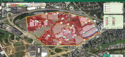
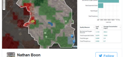
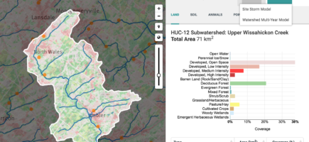
The new, greatly expanded Model My Watershed web app is now available. This version allows users to analyze real geospatial data, model storms, and compare conservation or development scenarios in any watershed in the continental United States.
To learn how to use the Site Storm Model and the Runoff Simulation (formerly known as the Micro Site Storm Model), visit the Model My Watershed page.


