WikiWatershed is a web toolkit designed to help citizens, conservation practitioners, municipal decision-makers, researchers, educators, and students advance knowledge and stewardship of fresh water. WikiWatershed an initiative of Stroud Water Research Center, a global leader in freshwater science.

4. Find Your Watershed

Last updated on 2022-04-28

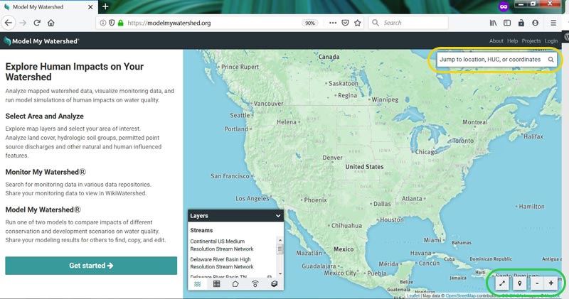
If you chose to share your location, the application should zoom directly to the location your internet provider or mobile device is sharing. If you chose not to share your location, find the location you want watershed information for by typing an address or city or zip code into the search bar.

Model My Watershed search bar
If you did not allow your browser to share your location, type your address or city or zip code into the search bar.

To see watershed information click on the “Select Boundary” button on the left of the screen and then select “USGS Watershed unit (HUC-10)” or “USGS Subwatershed unit (HUC-12).”

Model My Watershed Select Boundary button
Use the Select Boundary button to choose a watershed unit.

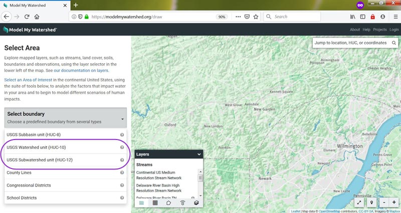
Red border lines should appear on your map. If you do not see any, try zooming out — you may be zoomed in too much to see more than one watershed unit.

The name of a watershed unit will be displayed in the pane on the left side of the screen. If you realize you made a mistake in selecting your area, click the “Change area” button and try again.


Was this article helpful?

Send Us Feedback

Scroll to the bottom of the article to tell us if it was helpful. A “Yes” will make our day, but if you answer “No” you can then send us a brief message to help us improve.

Can’t Find the Answer?

If you’ve searched the knowledge base and still need help, please reach out to our team.
Contact Us