This reference document is intended to provide technical documentation and references for the data layers, data analysis algorithms, models, computational framework, and other components that together create the hydrologic and water quality output delivered by the Model My Watershed web application.
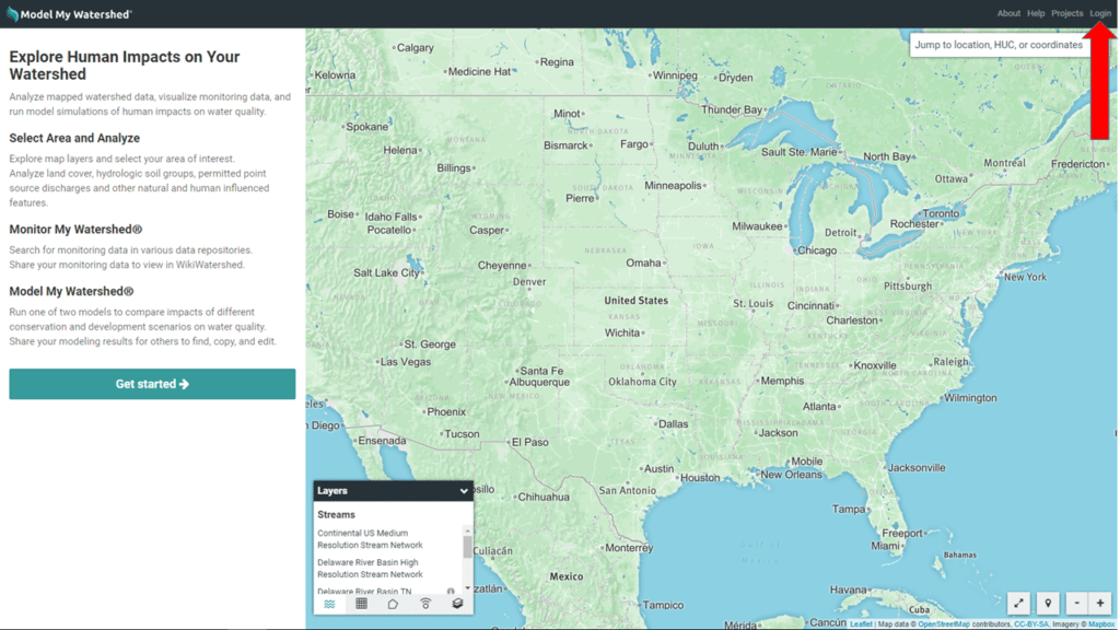
When you first open Model My Watershed, you will see a map of the United States (your browser may ask to “Know your location” and then zoom to your location), a side bar on the left with instructions, a “Layers” panel (lower left of the map), and a black bar that borders the top of your web browser (Figure 1).
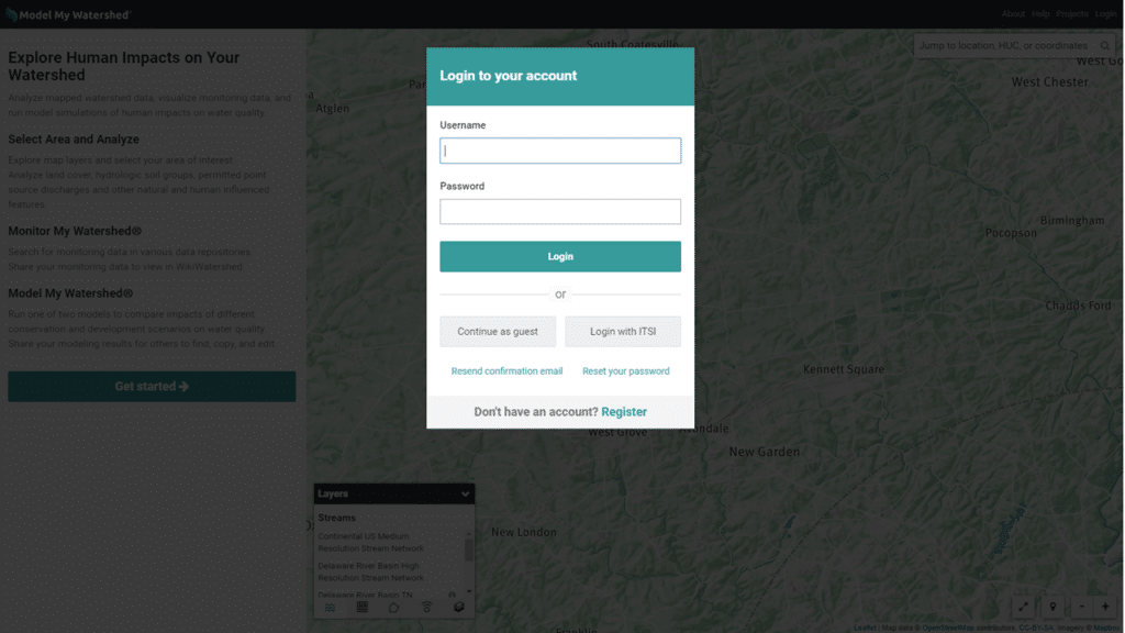
Alternatively, you may see the login screen (Figure 2) which can be activated by clicking “Login” in the upper right hand corner of the black bar (see red arrow on Figure 1).
You can choose to enter as a guest or register for a free account (generating a Username and Password). The “Login with ITSI” option is for teachers that use The Concord Consortium’s Innovation Technology in Science Inquiry portal for managing online classroom activities and curriculum that promotes the engagement of students in STEM activities through the integrated use of technologies that include modeling, computational thinking, and real-time data acquisition (learn more about Model My Watershed curriculum connected to the ITSI portal.


